
Scenic Views · Camping & Hiking · Quebec
Sentier du ruisseau
The Ruisseau-des-Chênes trail climbs Mont Orford from Route 112 in Austin, past small waterfalls and steep rocky pitches to summit views. Hard, and a Sépaq access fee applies.
Scenic Views · Camping & Hiking · Quebec
The Ruisseau-des-Chênes trail climbs Mont Orford from Route 112 in Austin, past small waterfalls and steep rocky pitches to summit views. Hard, and a Sépaq access fee applies.
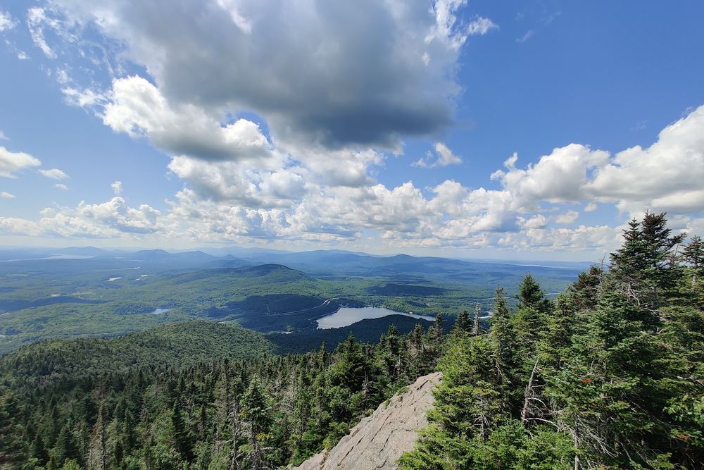
The Sentier du Ruisseau-des-Chênes starts near Lac Orford on Route 112 and climbs to the summit of Mont Orford in Parc national du Mont-Orford. The lower part follows a brook through oak and beech forest, with small waterfalls in the first stretch, and the top opens onto the ski slopes and broad views of the Eastern Townships.
Hikers consistently call it hard. Much of the climb is over rocks and roots at a steep angle, with some level breaks between the steeper sections. It's shaded until the last kilometre or so. One hiker logged about 12.7 km and roughly 850 m of gain for a longer loop, in under four hours; others took five or six hours round trip. Blazes can be hard to spot, so look up and carry a map or app.
Fit older kids can make it to the top, but several parents say it was too much for five-year-olds, and the descent is tough on knees. Dogs are allowed. A footbridge now links the trail to the municipal parking at Parc Chagnon-Shonyo, so you no longer have to walk along the highway to reach it.
A Sépaq daily access fee applies, and one visitor thought it steep for a single trail. The trail is officially closed in winter. Wet rock and mud make the steep sections slippery, so avoid it after rain or bring poles.
Summarised from visitor reviews on Google Maps. Based on 281 Google reviews. Conditions and rules change — check current park, access and fishing regulations before you go.