What visitors say
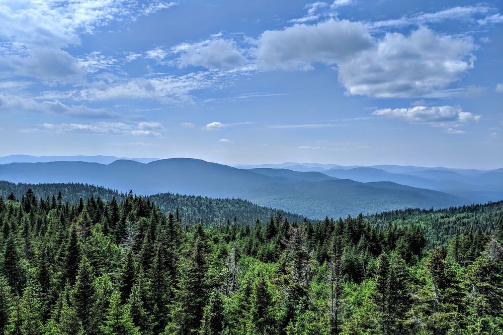
Montagne Noire rises close to 890 m just outside Saint-Donat, and an 11 m wooden observation tower at the top gives a full 360-degree view over the surrounding mountains, lakes and villages. Reviewers say the view leaves nothing to be desired.
The usual route starts from parking on Chemin Régimbald. Regional tourism lists the round trip at about 13 km and 460 m of climbing, rated difficult. Reviewers who hike it regularly are more relaxed about it. They describe a sustained first climb, then a rolling up-and-down stretch that's steep in places but manageable for most reasonably fit hikers. Trails are well marked, with few junctions.
Along the way you pass lakes, several viewpoints, and the crash site and memorial of an RCAF Liberator bomber that went down in 1943. There's a picnic area at the summit, though one visitor wished for more than a single table. In winter the area is used for snowshoeing and skiing, and one visitor rode a snowmobile up and had birds land on their hand for food. Dogs are permitted on the trail.
The trail is popular and the parking lot fills early. One regular says arriving after 9 a.m. is too late on a nice day. The crash site isn't visible in winter because of the deep snow.
Summarised from visitor reviews on Google Maps. Based on 225 Google reviews. Conditions and rules change — check current park, access and fishing regulations before you go.