What visitors say
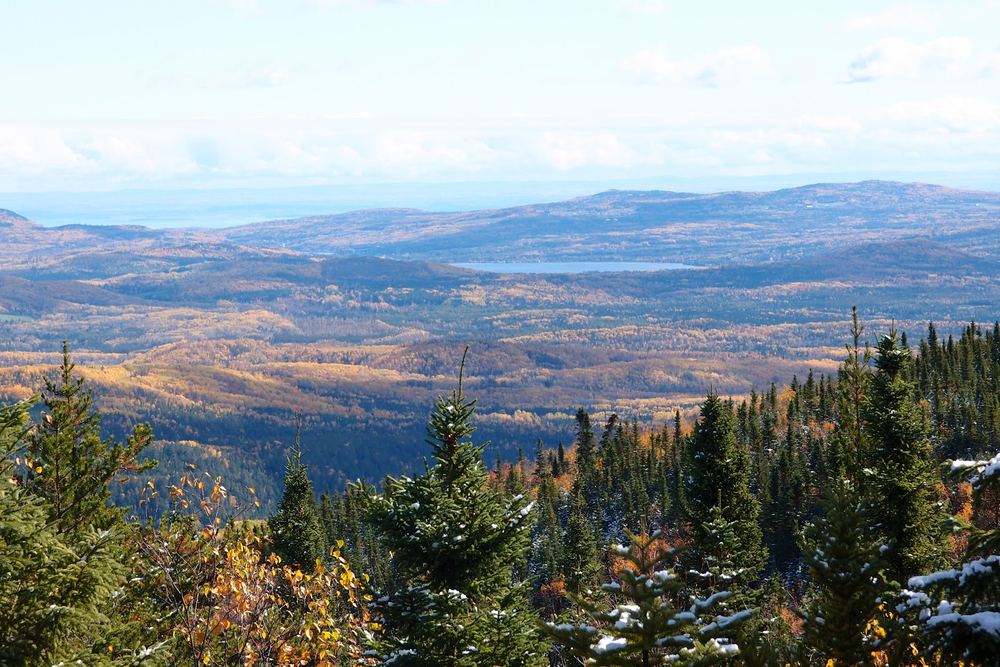
Mont des Morios rises a little over 900 m above the Charlevoix backcountry, and the view from the top is the reason people come. Hikers describe a steady climb through thick boreal forest that slowly opens onto valleys, ridgelines and a long run of wild country. Most reviewers say the panorama at the summit feels well earned.
The trails are maintained by a local non-profit outdoor association that manages the Pied-des-Monts free territory, and a low-cost annual membership card gives access. Visitors have bought it at the Dépanneur du Lac Brûlé in Saint-Aimé-des-Lacs. Hikers mention an expert route that goes straight up and a longer loop, and one group reported about 6 hours 40 minutes for the full outing including a long lunch. A much longer multi-summit loop, the Grande boucle des Morios, allows first-come backcountry camping along the way, though not on the Morios summits themselves.
This is a hike for fit, prepared people. Several reviewers found it hard work, and one noted the descent is tough on the knees. A couple in their early sixties finished it but called it rigorous. Cell service is limited near the top, so download a trail map before you go, and bring insect repellent in summer.
Getting there is the main complaint. The territory is isolated and the gravel road to the trailhead is rough, with several visitors warning that a low car will struggle. One recent hiker drove two hours only to find the usual road impassable well short of the trailhead, and another found GPS apps sent them the wrong way. The association now points visitors to the end of rang Sainte-Christine and asks them to follow the local signs, so check its website for current directions before you set out.
Summarised from visitor reviews on Google Maps. Based on 216 Google reviews. Conditions and rules change — check current park, access and fishing regulations before you go.